Llanidloes, Smithfield Street
Introduction
The photograph on this page of Llanidloes, Smithfield Street by David Dixon as part of the Geograph project.
The Geograph project started in 2005 with the aim of publishing, organising and preserving representative images for every square kilometre of Great Britain, Ireland and the Isle of Man.

There are currently over 7.5m images from over 14,400 individuals and you can help contribute to the project by visiting https://www.geograph.org.uk
Llanidloes, Smithfield Street
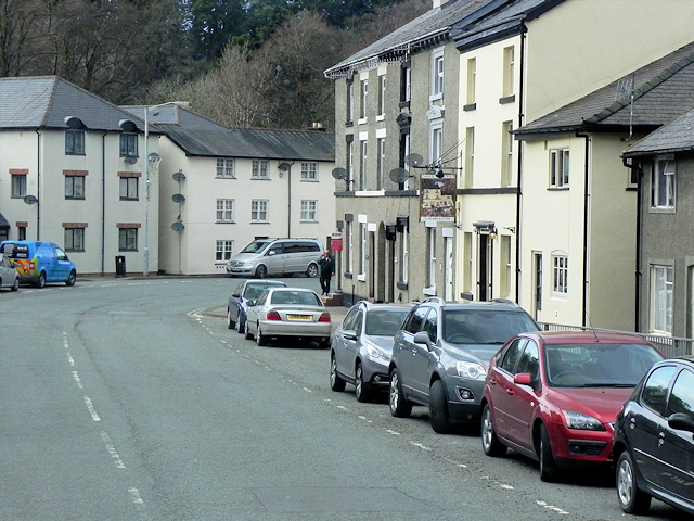
Image: © David Dixon Taken: 13 Apr 2016
During the 17th and 18th centuries, weaving and flannel production developed in the town largely as a cottage industry and the local products were sent to market in Shrewsbury. Towards the end of the eighteenth century, Llanidloes was the largest producer in Montgomeryshire. Some of the three storey houses with brick facades of this period would have housed weaving lofts on the upper storey.
Images are licensed for reuse under creativecommons.org/licenses/by-sa/2.0
Image Location
Latitude
52.446966
Longitude
-3.541199