Frith Wood, 1
Introduction
The photograph on this page of Frith Wood, 1 by Jonathan Billinger as part of the Geograph project.
The Geograph project started in 2005 with the aim of publishing, organising and preserving representative images for every square kilometre of Great Britain, Ireland and the Isle of Man.

There are currently over 7.5m images from over 14,400 individuals and you can help contribute to the project by visiting https://www.geograph.org.uk
Frith Wood, 1
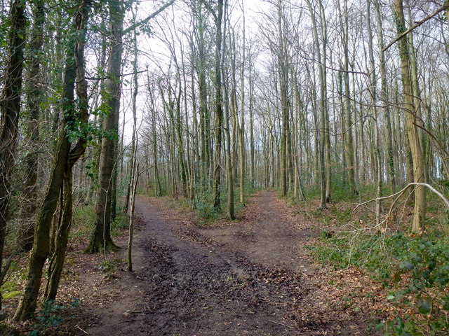
Image: © Jonathan Billinger Taken: 11 Feb 2016
A public space almost completely surrounded by the housing estates of Bussage and Chalford.
Images are licensed for reuse under creativecommons.org/licenses/by-sa/2.0
Image Location
Latitude
51.727675
Longitude
-2.1624