Sandy Flat Lane
Introduction
The photograph on this page of Sandy Flat Lane by Jonathan Clitheroe as part of the Geograph project.
The Geograph project started in 2005 with the aim of publishing, organising and preserving representative images for every square kilometre of Great Britain, Ireland and the Isle of Man.

There are currently over 7.5m images from over 14,400 individuals and you can help contribute to the project by visiting https://www.geograph.org.uk
Sandy Flat Lane
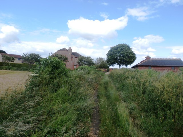
Image: © Jonathan Clitheroe Taken: 27 Jun 2016
Seen approaching Morthen Road on the southern outskirts of Wickersley. This path also forms part of the Rotherham Round Walk.
Images are licensed for reuse under creativecommons.org/licenses/by-sa/2.0
Image Location
Latitude
53.412098
Longitude
-1.278143