Riverside path at Hawick
Introduction
The photograph on this page of Riverside path at Hawick by James Denham as part of the Geograph project.
The Geograph project started in 2005 with the aim of publishing, organising and preserving representative images for every square kilometre of Great Britain, Ireland and the Isle of Man.

There are currently over 7.5m images from over 14,400 individuals and you can help contribute to the project by visiting https://www.geograph.org.uk
Riverside path at Hawick
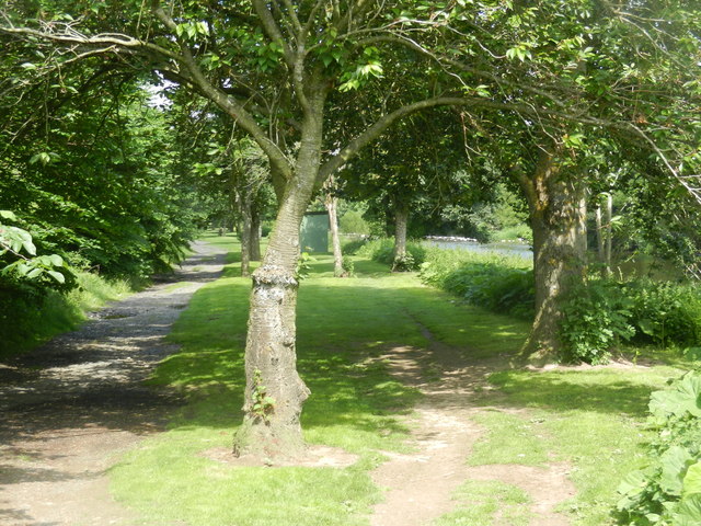
Image: © James Denham Taken: 18 Jun 2016
Heading along the River Teviot, from the Mansfield area of the town to the locally famous Hornshole Bridge
Images are licensed for reuse under creativecommons.org/licenses/by-sa/2.0
Image Location
Latitude
55.43364
Longitude
-2.759162