Winton: I wonder what these steps were for
Introduction
The photograph on this page of Winton: I wonder what these steps were for by Chris Downer as part of the Geograph project.
The Geograph project started in 2005 with the aim of publishing, organising and preserving representative images for every square kilometre of Great Britain, Ireland and the Isle of Man.

There are currently over 7.5m images from over 14,400 individuals and you can help contribute to the project by visiting https://www.geograph.org.uk
Winton: I wonder what these steps were for
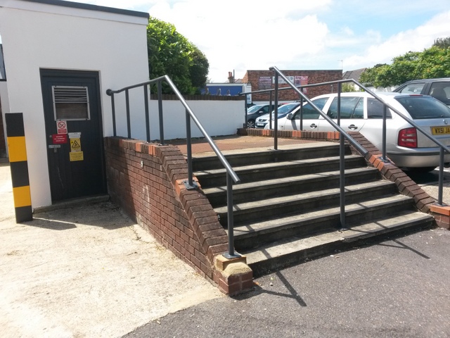
Image: © Chris Downer Taken: 28 Jun 2016
A substantial flight of steps, complete with handrail up the middle as well as at each side, currently leads absolutely nowhere. Presumably they once had a purpose but one can only guess now.
Images are licensed for reuse under creativecommons.org/licenses/by-sa/2.0
Image Location
Latitude
50.741767
Longitude
-1.879909