The northern end of Thornhills Lane, Clifton
Introduction
The photograph on this page of The northern end of Thornhills Lane, Clifton by Humphrey Bolton as part of the Geograph project.
The Geograph project started in 2005 with the aim of publishing, organising and preserving representative images for every square kilometre of Great Britain, Ireland and the Isle of Man.

There are currently over 7.5m images from over 14,400 individuals and you can help contribute to the project by visiting https://www.geograph.org.uk
The northern end of Thornhills Lane, Clifton
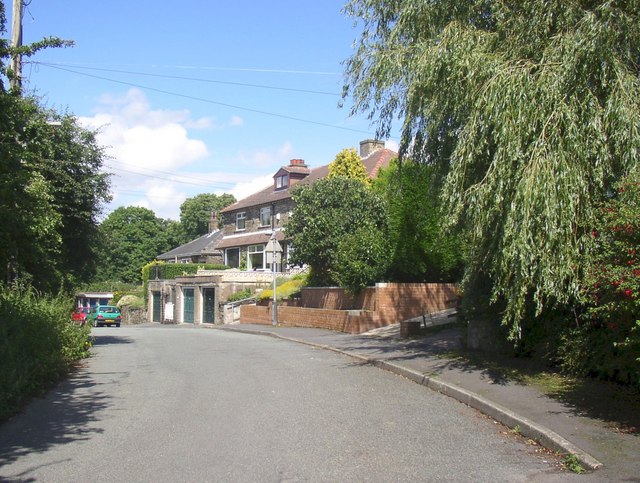
Image: © Humphrey Bolton Taken: 16 Jul 2007
Here, as the lane approaches it junction with Thornhills Beck Lane and Jay House Lane, the lane suddenly widens alongside a row of houses. The widening was possibly paid for by the builder as a condition of planning permission. The 6” map of c.1940 shows some of the houses as approximate rectangles, but not the road widening. This edition was not fully revised, however, and concentrated on showing the location of new houses for Air-raid Precaution Planning.
Images are licensed for reuse under creativecommons.org/licenses/by-sa/2.0
Image Location
Latitude
53.712202
Longitude
-1.771184