Curved flint House
Introduction
The photograph on this page of Curved flint House by Ant Basterfield as part of the Geograph project.
The Geograph project started in 2005 with the aim of publishing, organising and preserving representative images for every square kilometre of Great Britain, Ireland and the Isle of Man.

There are currently over 7.5m images from over 14,400 individuals and you can help contribute to the project by visiting https://www.geograph.org.uk
Curved flint House
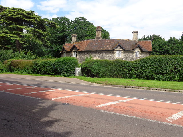
Image: © Ant Basterfield Taken: 26 Jun 2016
Here at the turning to Honington is an old Flint house which is strange as it's been built on a curve though perhaps my picture doesn't quite do it justice.
Images are licensed for reuse under creativecommons.org/licenses/by-sa/2.0
Image Location
Latitude
52.349132
Longitude
0.73853