Gravel near Greymare Farm
Introduction
The photograph on this page of Gravel near Greymare Farm by Derek Harper as part of the Geograph project.
The Geograph project started in 2005 with the aim of publishing, organising and preserving representative images for every square kilometre of Great Britain, Ireland and the Isle of Man.

There are currently over 7.5m images from over 14,400 individuals and you can help contribute to the project by visiting https://www.geograph.org.uk
Gravel near Greymare Farm
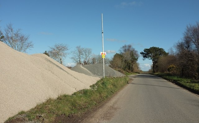
Image: © Derek Harper Taken: 31 Mar 2016
Looking in the opposite direction from the crossroads shown in Image From the warning sign attached to it, one would imagine that the pole has something to do with electricity.
Images are licensed for reuse under creativecommons.org/licenses/by-sa/2.0
Image Location
Latitude
50.441509
Longitude
-4.637612