The former Maltster's Arms, Willingale, Essex
Introduction
The photograph on this page of The former Maltster's Arms, Willingale, Essex by Derek Voller as part of the Geograph project.
The Geograph project started in 2005 with the aim of publishing, organising and preserving representative images for every square kilometre of Great Britain, Ireland and the Isle of Man.

There are currently over 7.5m images from over 14,400 individuals and you can help contribute to the project by visiting https://www.geograph.org.uk
The former Maltster's Arms, Willingale, Essex
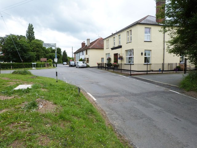
Image: © Derek Voller Taken: 27 Jun 2016
Another loss of a pub to the village, especially in view of its association with the WW2 bomber station nearby. See http://www.iwm.org.uk/collections/item/object/205361393. There are now no pubs in this quintessential Essex village. It's the end of the civilised world as we know it.
Images are licensed for reuse under creativecommons.org/licenses/by-sa/2.0
Image Location
Latitude
51.740592
Longitude
0.310592