Junction of public footpaths, Toppings
Introduction
The photograph on this page of Junction of public footpaths, Toppings by Bradley Michael as part of the Geograph project.
The Geograph project started in 2005 with the aim of publishing, organising and preserving representative images for every square kilometre of Great Britain, Ireland and the Isle of Man.

There are currently over 7.5m images from over 14,400 individuals and you can help contribute to the project by visiting https://www.geograph.org.uk
Junction of public footpaths, Toppings
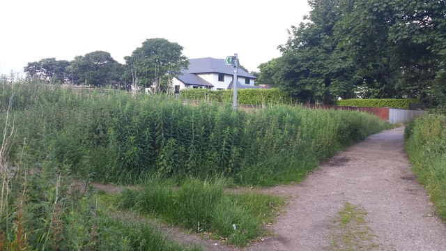
Image: © Bradley Michael Taken: 25 Jun 2016
Near Last Drop Village, the path on the right is Haydock Lane. The other heads north towards Turton Golf Club.
Images are licensed for reuse under creativecommons.org/licenses/by-sa/2.0
Image Location
Latitude
53.622073
Longitude
-2.41905