West Howe: footpath U32 to Rochester Road
Introduction
The photograph on this page of West Howe: footpath U32 to Rochester Road by Chris Downer as part of the Geograph project.
The Geograph project started in 2005 with the aim of publishing, organising and preserving representative images for every square kilometre of Great Britain, Ireland and the Isle of Man.

There are currently over 7.5m images from over 14,400 individuals and you can help contribute to the project by visiting https://www.geograph.org.uk
West Howe: footpath U32 to Rochester Road
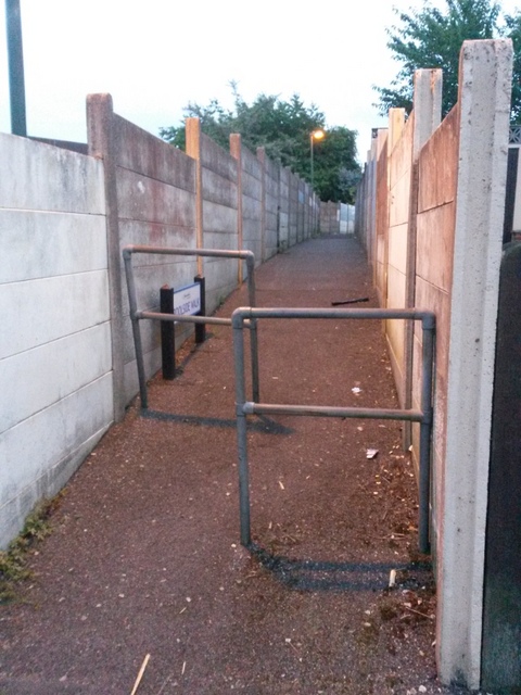
Image: © Chris Downer Taken: 27 Jun 2016
This public footpath leads from South Kinson Drive to the dead end of Rochester Road, and has recently been given the name Poolside Walk - see Image for more discussion on the name. See also Image for a picture looking towards us from just around the bend ahead.
Images are licensed for reuse under creativecommons.org/licenses/by-sa/2.0
Image Location
Latitude
50.760313
Longitude
-1.90283