West Howe: footpath U31 is to the right
Introduction
The photograph on this page of West Howe: footpath U31 is to the right by Chris Downer as part of the Geograph project.
The Geograph project started in 2005 with the aim of publishing, organising and preserving representative images for every square kilometre of Great Britain, Ireland and the Isle of Man.

There are currently over 7.5m images from over 14,400 individuals and you can help contribute to the project by visiting https://www.geograph.org.uk
West Howe: footpath U31 is to the right
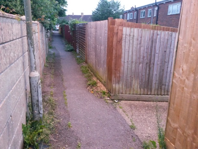
Image: © Chris Downer Taken: 27 Jun 2016
Looking along a path at the back of odd-numbered houses in Moore Avenue. Unlike this path, the one to our right is designated a public right of way, number U31. A short distance ahead of us, where the dark scar in the tarmac comes to an end, an opening in the wall leads to Cunningham Close. See Image for more discussion, and Image] for a view down the path from this top end.
Images are licensed for reuse under creativecommons.org/licenses/by-sa/2.0
Image Location
Latitude
50.75924
Longitude
-1.910913