West Howe: steps to Moore Avenue houses and footpath U31
Introduction
The photograph on this page of West Howe: steps to Moore Avenue houses and footpath U31 by Chris Downer as part of the Geograph project.
The Geograph project started in 2005 with the aim of publishing, organising and preserving representative images for every square kilometre of Great Britain, Ireland and the Isle of Man.

There are currently over 7.5m images from over 14,400 individuals and you can help contribute to the project by visiting https://www.geograph.org.uk
West Howe: steps to Moore Avenue houses and footpath U31
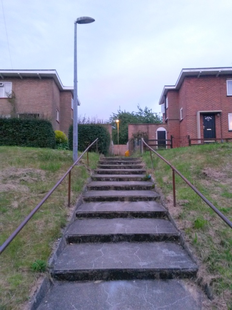
Image: © Chris Downer Taken: 27 Jun 2016
The houses on the eastern side of this segment of Moore Avenue are up a grass bank from the main carriageway. These steps therefore provide access to them - a ramped path is available nearby too. The steps are directly in line with a public footpath heading between these two houses - see Image] for more discussion and further links.
Images are licensed for reuse under creativecommons.org/licenses/by-sa/2.0
Image Location
Latitude
50.75942
Longitude
-1.911196