Road in Horton
Introduction
The photograph on this page of Road in Horton by Bill Boaden as part of the Geograph project.
The Geograph project started in 2005 with the aim of publishing, organising and preserving representative images for every square kilometre of Great Britain, Ireland and the Isle of Man.

There are currently over 7.5m images from over 14,400 individuals and you can help contribute to the project by visiting https://www.geograph.org.uk
Road in Horton
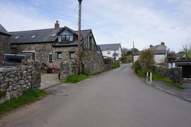
Image: © Bill Boaden Taken: 12 Apr 2016
This is the top segment of a circle of roads in the village, which enables buses to turnround easily.
Images are licensed for reuse under creativecommons.org/licenses/by-sa/2.0
Image Location
Latitude
51.551809
Longitude
-4.20369