St Mary's Lane, Yawl
Introduction
The photograph on this page of St Mary's Lane, Yawl by David Smith as part of the Geograph project.
The Geograph project started in 2005 with the aim of publishing, organising and preserving representative images for every square kilometre of Great Britain, Ireland and the Isle of Man.

There are currently over 7.5m images from over 14,400 individuals and you can help contribute to the project by visiting https://www.geograph.org.uk
St Mary's Lane, Yawl
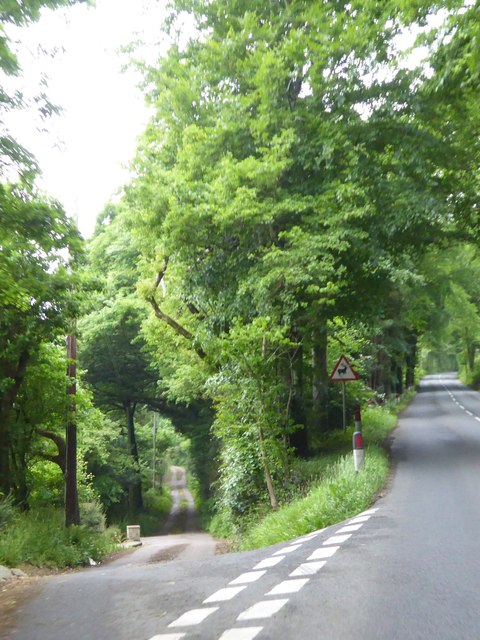
Image: © David Smith Taken: 1 Jun 2016
This minor road forks off the B3165 (Lyme Road) into the wooded valley (Yawl Bottom)
Images are licensed for reuse under creativecommons.org/licenses/by-sa/2.0
Image Location
Latitude
50.751277
Longitude
-2.970527