Laxton Local History Group book launch, June 2016
Introduction
The photograph on this page of Laxton Local History Group book launch, June 2016 by Chris as part of the Geograph project.
The Geograph project started in 2005 with the aim of publishing, organising and preserving representative images for every square kilometre of Great Britain, Ireland and the Isle of Man.

There are currently over 7.5m images from over 14,400 individuals and you can help contribute to the project by visiting https://www.geograph.org.uk
Laxton Local History Group book launch, June 2016
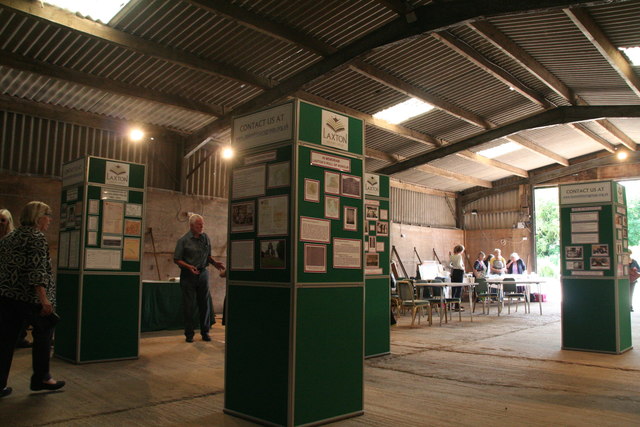
Image: © Chris Taken: 24 Jun 2016
For explanation of the Laxton medieval field system and history of Laxton see Image The Group has produced 4 books: "Open Field Farming in Laxton" (Mary Haigh), Laxton in Wartime" (Roger Cottee), Living in Laxton (Cynthia Bartle) and "The Village Schoolmaster" (Joan Cottee). The books are published by the Nottinghamshire Local History Association.
Images are licensed for reuse under creativecommons.org/licenses/by-sa/2.0
Image Location
Latitude
53.196982
Longitude
-0.919957