West Howe: High Howe Close from Littlemoor Avenue
Introduction
The photograph on this page of West Howe: High Howe Close from Littlemoor Avenue by Chris Downer as part of the Geograph project.
The Geograph project started in 2005 with the aim of publishing, organising and preserving representative images for every square kilometre of Great Britain, Ireland and the Isle of Man.

There are currently over 7.5m images from over 14,400 individuals and you can help contribute to the project by visiting https://www.geograph.org.uk
West Howe: High Howe Close from Littlemoor Avenue
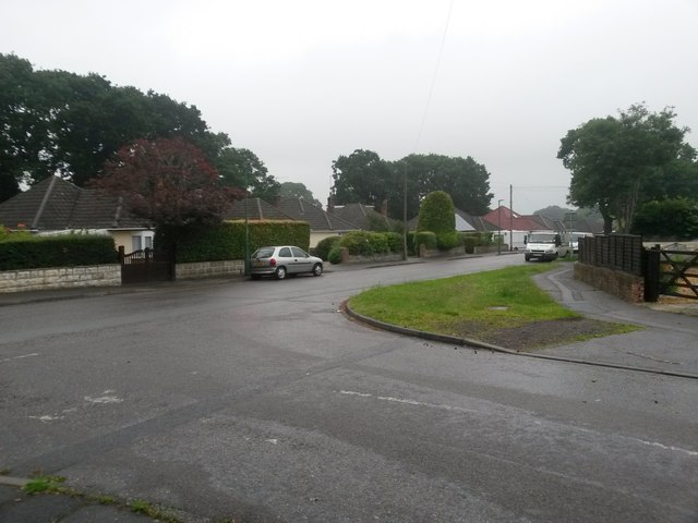
Image: © Chris Downer Taken: 26 Jun 2016
The name High Howe Close refers to the road ahead and the turning to the right, while the main carriageway continues as Littlemoor Avenue, out of shot to the left. This northern segment of High Howe Close is designated a byway open to all traffic. I don't know why this particular stretch of road should be labelled as such: maybe it was a historical route when this was heathland, and the modern road network incorporated it. It is numbered U12 on Bournemouth Borough Council's list of public rights of way. See Image for a view in this direction, from around the bend ahead.
Images are licensed for reuse under creativecommons.org/licenses/by-sa/2.0
Image Location
Latitude
50.760421
Longitude
-1.928066