Cwmystwyth
Introduction
The photograph on this page of Cwmystwyth by David Dixon as part of the Geograph project.
The Geograph project started in 2005 with the aim of publishing, organising and preserving representative images for every square kilometre of Great Britain, Ireland and the Isle of Man.

There are currently over 7.5m images from over 14,400 individuals and you can help contribute to the project by visiting https://www.geograph.org.uk
Cwmystwyth
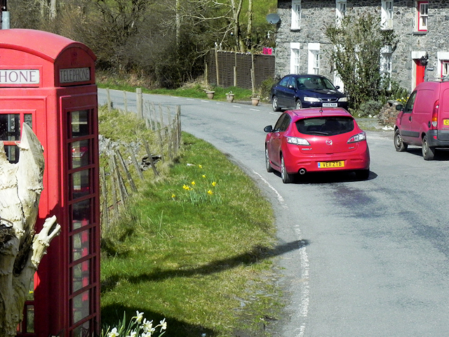
Image: © David Dixon Taken: 13 Apr 2016
Cwmystwyth (also Cwm Ystwyth; English: "valley of the River Ystwyth") is a village in Ceredigion, Wales near Devil's Bridge, and Pont-rhyd-y-groes. The Ordnance Survey calculates Cwmystwyth to be the Centre point of Wales (https://en.wikipedia.org/wiki/Centre_points_of_the_United_Kingdom Wikipedia)
Images are licensed for reuse under creativecommons.org/licenses/by-sa/2.0
Image Location


Leaflet Map data © OpenStreetMap
Latitude
52.351009
Longitude
-3.779536