Redevelopment site, Ascot
Introduction
The photograph on this page of Redevelopment site, Ascot by Robin Webster as part of the Geograph project.
The Geograph project started in 2005 with the aim of publishing, organising and preserving representative images for every square kilometre of Great Britain, Ireland and the Isle of Man.

There are currently over 7.5m images from over 14,400 individuals and you can help contribute to the project by visiting https://www.geograph.org.uk
Redevelopment site, Ascot
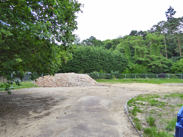
Image: © Robin Webster Taken: 26 Jun 2016
The pile of rubble is the remains of a medium sized house, evidently thought too small for the plot it was on.
Images are licensed for reuse under creativecommons.org/licenses/by-sa/2.0
Image Location
Latitude
51.393499
Longitude
-0.662259