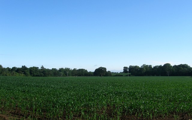
Originally Nine Separate Fields (1)
Introduction
The photograph on this page of Originally Nine Separate Fields (1) by Simon Carey as part of the Geograph project.
The Geograph project started in 2005 with the aim of publishing, organising and preserving representative images for every square kilometre of Great Britain, Ireland and the Isle of Man.
There are currently over 7.5m images from over 14,400 individuals and you can help contribute to the project by visiting https://www.geograph.org.uk

Image: © Simon Carey Taken: 25 Jun 2016
Too numerous to mention in the title but this area west of Image contains nine former fields from Steyning's 1841 tithe map that have now been merged to form a single unit. Bordering Washington Road, the A283, were Two Acre Field to the east and Turnpike Field to the west. To the north of the former was Pond Field and the latter Eight Acres. North of a line connecting Horsebrook Cottage to Great Alder Wood and adjacent to the former on the western side was Hither Horse Brook, The Horse House Brook and Breaches Horse Brook, the latter next to Image On the eastern side was The Ham Horse Brook and The Home Horse Brook. See also Image taken from the opposite end of the large field.

