National Cycle Network route 4 from Johnston towards Neyland
Introduction
The photograph on this page of National Cycle Network route 4 from Johnston towards Neyland by Jaggery as part of the Geograph project.
The Geograph project started in 2005 with the aim of publishing, organising and preserving representative images for every square kilometre of Great Britain, Ireland and the Isle of Man.

There are currently over 7.5m images from over 14,400 individuals and you can help contribute to the project by visiting https://www.geograph.org.uk
National Cycle Network route 4 from Johnston towards Neyland
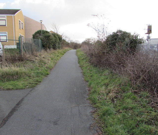
Image: © Jaggery Taken: 18 Feb 2016
The route is here parallel with the West Wales Line railway near Johnston station. A nearby signpost shows ahead for Neyland (4 miles), behind the camera for Haverfordwest (5).
Images are licensed for reuse under creativecommons.org/licenses/by-sa/2.0
Image Location


Leaflet Map data © OpenStreetMap
Latitude
51.756644
Longitude
-4.996756