Strouden: footpath K33 from its northern end
Introduction
The photograph on this page of Strouden: footpath K33 from its northern end by Chris Downer as part of the Geograph project.
The Geograph project started in 2005 with the aim of publishing, organising and preserving representative images for every square kilometre of Great Britain, Ireland and the Isle of Man.

There are currently over 7.5m images from over 14,400 individuals and you can help contribute to the project by visiting https://www.geograph.org.uk
Strouden: footpath K33 from its northern end
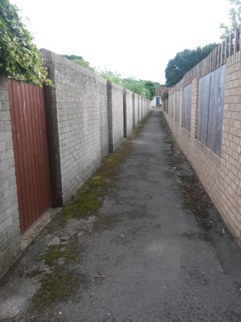
Image: © Chris Downer Taken: 25 Jun 2016
A short public footpath, dead straight with uniform but different walls on each side, linking two parallel paths between Vanguard Road and Craigmoor Avenue. The two paths concerned are: Image (this end) Image (far end) These two images show the meeting point of footpath K33, and links to further images along K31 and K32. See Image for a view along this path from the far end.
Images are licensed for reuse under creativecommons.org/licenses/by-sa/2.0
Image Location
Latitude
50.749003
Longitude
-1.839777