Strouden: footpath K32 approaches Vanguard Road
Introduction
The photograph on this page of Strouden: footpath K32 approaches Vanguard Road by Chris Downer as part of the Geograph project.
The Geograph project started in 2005 with the aim of publishing, organising and preserving representative images for every square kilometre of Great Britain, Ireland and the Isle of Man.

There are currently over 7.5m images from over 14,400 individuals and you can help contribute to the project by visiting https://www.geograph.org.uk
Strouden: footpath K32 approaches Vanguard Road
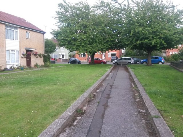
Image: © Chris Downer Taken: 25 Jun 2016
The opposite view to Image on this public footpath from Craigmoor Avenue. The houses on the left are the highest even numbers of Craigmoor Avenue, even though its dead end is about 150 yards behind us. A similar path runs alongside the odd numbers and also comes out at the dead end of Craigmoor Avenue: Image See Image for the next view behind us on this path.
Images are licensed for reuse under creativecommons.org/licenses/by-sa/2.0
Image Location
Latitude
50.749092
Longitude
-1.83921