Strouden: footpath K31 from Vanguard Road
Introduction
The photograph on this page of Strouden: footpath K31 from Vanguard Road by Chris Downer as part of the Geograph project.
The Geograph project started in 2005 with the aim of publishing, organising and preserving representative images for every square kilometre of Great Britain, Ireland and the Isle of Man.

There are currently over 7.5m images from over 14,400 individuals and you can help contribute to the project by visiting https://www.geograph.org.uk
Strouden: footpath K31 from Vanguard Road
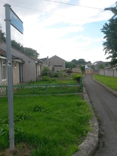
Image: © Chris Downer Taken: 25 Jun 2016
Looking along this footpath which leads to the dead end of Craigmoor Avenue. Although Craigmoor Avenue comes to an end, its houses continue right up to here (those on the left are the highest odd numbers). See Image] for the next view along the path ahead. A similar arrangement exists a few doors along, with another footpath running alongside the even numbers and coming out on the opposite side of Craigmoor Avenue (see Image). At the slight kink in the route ahead, a further public footpath links this path with the other: see Image
Images are licensed for reuse under creativecommons.org/licenses/by-sa/2.0
Image Location
Latitude
50.748643
Longitude
-1.840062