Strouden: footpath K19 heads for Curlew Road
Introduction
The photograph on this page of Strouden: footpath K19 heads for Curlew Road by Chris Downer as part of the Geograph project.
The Geograph project started in 2005 with the aim of publishing, organising and preserving representative images for every square kilometre of Great Britain, Ireland and the Isle of Man.

There are currently over 7.5m images from over 14,400 individuals and you can help contribute to the project by visiting https://www.geograph.org.uk
Strouden: footpath K19 heads for Curlew Road
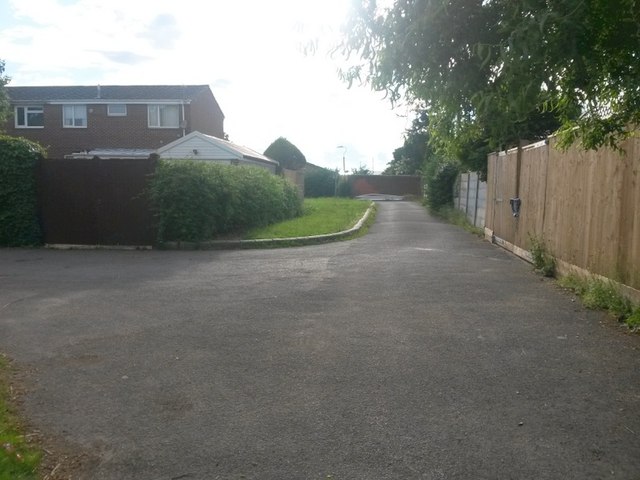
Image: © Chris Downer Taken: 25 Jun 2016
This rear access driveway leads from Mallard Road to Curlew Road as a public footpath. The public right of way extends ahead and behind us, while vehicles will turn right (left as we look) to the garages. See Image for the view behind us and Image for a view towards us from by the lamppost in the distance.
Images are licensed for reuse under creativecommons.org/licenses/by-sa/2.0
Image Location


Leaflet Map data © OpenStreetMap
Latitude
50.750543
Longitude
-1.848418