Botolph Alley, City of London
Introduction
The photograph on this page of Botolph Alley, City of London by Christopher Hilton as part of the Geograph project.
The Geograph project started in 2005 with the aim of publishing, organising and preserving representative images for every square kilometre of Great Britain, Ireland and the Isle of Man.

There are currently over 7.5m images from over 14,400 individuals and you can help contribute to the project by visiting https://www.geograph.org.uk
Botolph Alley, City of London
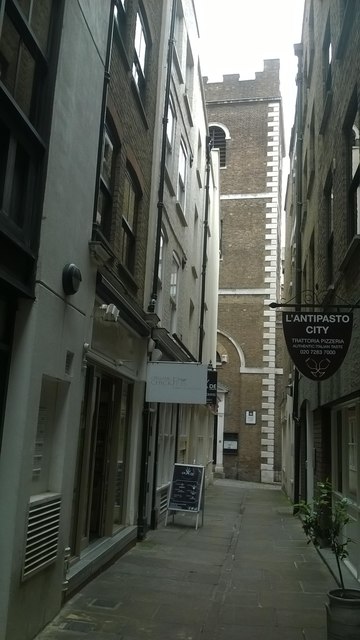
Image: © Christopher Hilton Taken: 13 Jun 2016
This alleyway takes its name from the now-vanished church of St Botolph Billingsgate. At its end can be seen the church of St Mary at Hill.
Images are licensed for reuse under creativecommons.org/licenses/by-sa/2.0
Image Location
Latitude
51.510111
Longitude
-0.084149