Kinson: where footpath E53 used to come out
Introduction
The photograph on this page of Kinson: where footpath E53 used to come out by Chris Downer as part of the Geograph project.
The Geograph project started in 2005 with the aim of publishing, organising and preserving representative images for every square kilometre of Great Britain, Ireland and the Isle of Man.

There are currently over 7.5m images from over 14,400 individuals and you can help contribute to the project by visiting https://www.geograph.org.uk
Kinson: where footpath E53 used to come out
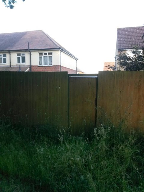
Image: © Chris Downer Taken: 24 Jun 2016
Standing in Pelhams Park, we look towards the rear garden fences of 9 and 11a Weymans Avenue, where a public footpath used to arrive onto the park. It would have been to the immediate left of the pictured gate. See Image] for more discussion on this and Image] for even more explanation.
Images are licensed for reuse under creativecommons.org/licenses/by-sa/2.0
Image Location
Latitude
50.770293
Longitude
-1.90054