Trees and fields near Haweswater Beck
Introduction
The photograph on this page of Trees and fields near Haweswater Beck by Trevor Littlewood as part of the Geograph project.
The Geograph project started in 2005 with the aim of publishing, organising and preserving representative images for every square kilometre of Great Britain, Ireland and the Isle of Man.

There are currently over 7.5m images from over 14,400 individuals and you can help contribute to the project by visiting https://www.geograph.org.uk
Trees and fields near Haweswater Beck
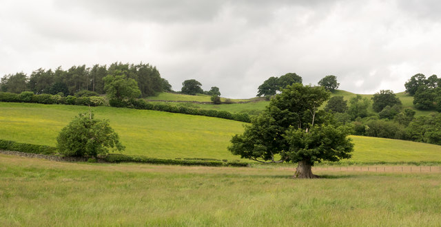
Image: © Trevor Littlewood Taken: 24 Jun 2016
Haweswater Beck, (which carries away the water from Haweswater not required by Manchester), lies to the east of the fields seen here - to the right, out of the image.
Images are licensed for reuse under creativecommons.org/licenses/by-sa/2.0
Image Location
Latitude
54.551424
Longitude
-2.74763