Track on Westhope Hill
Introduction
The photograph on this page of Track on Westhope Hill by Richard Webb as part of the Geograph project.
The Geograph project started in 2005 with the aim of publishing, organising and preserving representative images for every square kilometre of Great Britain, Ireland and the Isle of Man.

There are currently over 7.5m images from over 14,400 individuals and you can help contribute to the project by visiting https://www.geograph.org.uk
Track on Westhope Hill
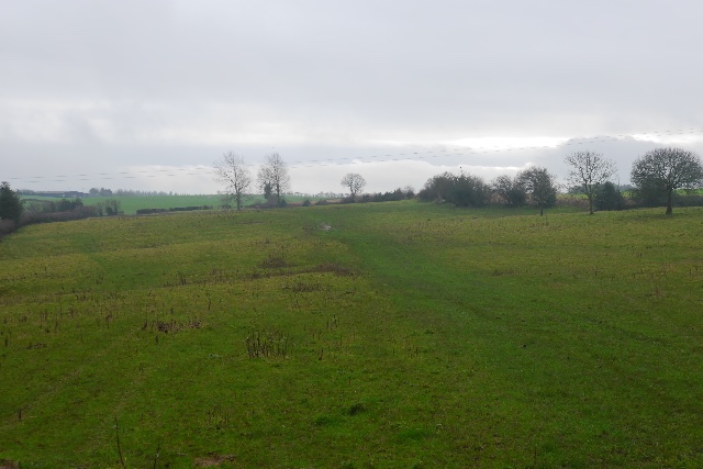
Image: © Richard Webb Taken: 27 Dec 2015
The mapped track is just flattened grass. This is the top of one of Herefordshire's many flat topped sandstone hills.
Images are licensed for reuse under creativecommons.org/licenses/by-sa/2.0
Image Location
Latitude
52.162646
Longitude
-2.77419