Pokesdown: footpath G10 from Deans Road
Introduction
The photograph on this page of Pokesdown: footpath G10 from Deans Road by Chris Downer as part of the Geograph project.
The Geograph project started in 2005 with the aim of publishing, organising and preserving representative images for every square kilometre of Great Britain, Ireland and the Isle of Man.

There are currently over 7.5m images from over 14,400 individuals and you can help contribute to the project by visiting https://www.geograph.org.uk
Pokesdown: footpath G10 from Deans Road
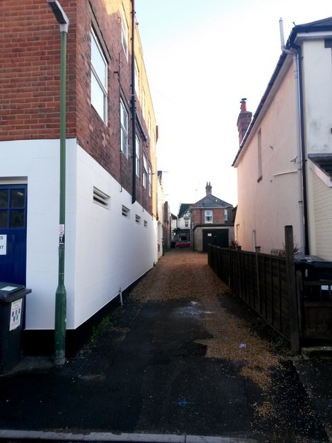
Image: © Chris Downer Taken: 23 Jun 2016
The opposing view to Image There are a couple of modern dwelling frontages a little way along (Image), and another footpath which joins this one midway along (Image).
Images are licensed for reuse under creativecommons.org/licenses/by-sa/2.0
Image Location
Latitude
50.72775
Longitude
-1.819022