Hanford: houses on Stone Road (A34)
Introduction
The photograph on this page of Hanford: houses on Stone Road (A34) by Jonathan Hutchins as part of the Geograph project.
The Geograph project started in 2005 with the aim of publishing, organising and preserving representative images for every square kilometre of Great Britain, Ireland and the Isle of Man.

There are currently over 7.5m images from over 14,400 individuals and you can help contribute to the project by visiting https://www.geograph.org.uk
Hanford: houses on Stone Road (A34)
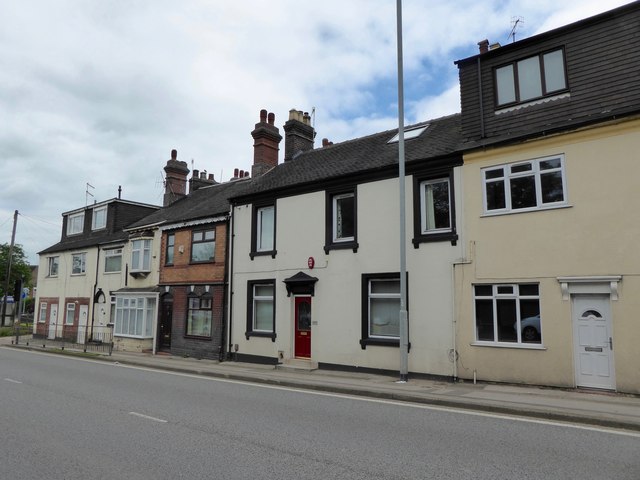
Image: © Jonathan Hutchins Taken: 18 Jun 2016
The white house in the middle, no.165 Stone Road, is a long-lost pub, The Staffordshire Knot, which relocated a very short way up to the road to Mayne Street, where it has now become an Indian restaurant: see Image
Images are licensed for reuse under creativecommons.org/licenses/by-sa/2.0
Image Location
Latitude
52.979947
Longitude
-2.199681