Roadside wall in High Street, Burniston
Introduction
The photograph on this page of Roadside wall in High Street, Burniston by John S Turner as part of the Geograph project.
The Geograph project started in 2005 with the aim of publishing, organising and preserving representative images for every square kilometre of Great Britain, Ireland and the Isle of Man.

There are currently over 7.5m images from over 14,400 individuals and you can help contribute to the project by visiting https://www.geograph.org.uk
Roadside wall in High Street, Burniston
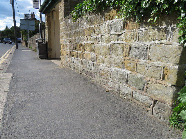
Image: © John S Turner Taken: 20 Jun 2016
This roadside wall in High Street, Burniston has an Ordnance Survey bench mark at the bottom of the wall - Image
Images are licensed for reuse under creativecommons.org/licenses/by-sa/2.0
Image Location
Latitude
54.322096
Longitude
-0.444814