Work on the Bermondsey Diveunder
Introduction
The photograph on this page of Work on the Bermondsey Diveunder by David Martin as part of the Geograph project.
The Geograph project started in 2005 with the aim of publishing, organising and preserving representative images for every square kilometre of Great Britain, Ireland and the Isle of Man.

There are currently over 7.5m images from over 14,400 individuals and you can help contribute to the project by visiting https://www.geograph.org.uk
Work on the Bermondsey Diveunder
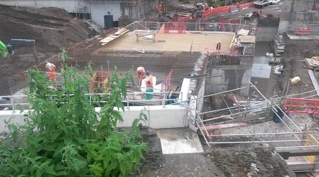
Image: © David Martin Taken: 23 Jun 2016
Looking down on construction works which will eventually allow the Charing Cross lines to 'dive under' the Thameslink lines into London Bridge. For an explanation, see [http://www.londonreconnections.com/2015/bermondsey-diveunder/]
Images are licensed for reuse under creativecommons.org/licenses/by-sa/2.0
Image Location
Latitude
51.4878
Longitude
-0.050803