St. Catherine's church at East Tilbury
Introduction
The photograph on this page of St. Catherine's church at East Tilbury by Robert Edwards as part of the Geograph project.
The Geograph project started in 2005 with the aim of publishing, organising and preserving representative images for every square kilometre of Great Britain, Ireland and the Isle of Man.

There are currently over 7.5m images from over 14,400 individuals and you can help contribute to the project by visiting https://www.geograph.org.uk
St. Catherine's church at East Tilbury
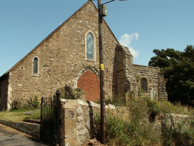
Image: © Robert Edwards Taken: 20 Jul 2007
This is a very old church that dates back to the Norman period and possibly stands on the site of a Saxon monastery. This picture shows a brick blocked tower arch, which is proof that this church once had a west tower. A replacement tower was due to be built and the base of it was completed to the southwest corner of the church in 1917. Further building of the tower has never continued.
Images are licensed for reuse under creativecommons.org/licenses/by-sa/2.0
Image Location
Latitude
51.466588
Longitude
0.43005