Moordown: footpath M11 to McWilliam Road
Introduction
The photograph on this page of Moordown: footpath M11 to McWilliam Road by Chris Downer as part of the Geograph project.
The Geograph project started in 2005 with the aim of publishing, organising and preserving representative images for every square kilometre of Great Britain, Ireland and the Isle of Man.

There are currently over 7.5m images from over 14,400 individuals and you can help contribute to the project by visiting https://www.geograph.org.uk
Moordown: footpath M11 to McWilliam Road
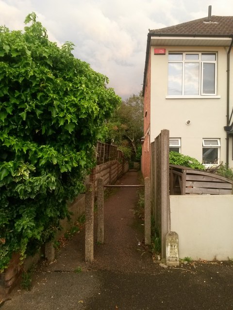
Image: © Chris Downer Taken: 22 Jun 2016
Looking along this short path, leading to Image from Mayfield Road. This is an extension of the more substantial straight path (Image) behind us to Wimborne Road. See Image for the view towards us from a little way along the path.
Images are licensed for reuse under creativecommons.org/licenses/by-sa/2.0
Image Location
Latitude
50.75318
Longitude
-1.87265