Moordown: thatched cottage in McWilliam Road
Introduction
The photograph on this page of Moordown: thatched cottage in McWilliam Road by Chris Downer as part of the Geograph project.
The Geograph project started in 2005 with the aim of publishing, organising and preserving representative images for every square kilometre of Great Britain, Ireland and the Isle of Man.

There are currently over 7.5m images from over 14,400 individuals and you can help contribute to the project by visiting https://www.geograph.org.uk
Moordown: thatched cottage in McWilliam Road
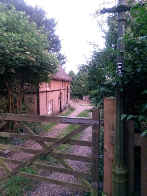
Image: © Chris Downer Taken: 22 Jun 2016
Only a glimpse of this thatched cottage, at Image], is available from the gateway. It is, to my knowledge, the only thatched cottage in the Moordown area, a rural looking enclave in the midst of much late 19th and early 20th century development, and much more recent stuff too.
Images are licensed for reuse under creativecommons.org/licenses/by-sa/2.0
Image Location
Latitude
50.75291
Longitude
-1.872509