Moordown: the end of McWilliam Road
Introduction
The photograph on this page of Moordown: the end of McWilliam Road by Chris Downer as part of the Geograph project.
The Geograph project started in 2005 with the aim of publishing, organising and preserving representative images for every square kilometre of Great Britain, Ireland and the Isle of Man.

There are currently over 7.5m images from over 14,400 individuals and you can help contribute to the project by visiting https://www.geograph.org.uk
Moordown: the end of McWilliam Road
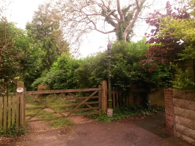
Image: © Chris Downer Taken: 22 Jun 2016
Image] comes to an abrupt end, at this gateway to what is, to my knowledge, the only thatched cottage in the whole Moordown area - see Image Just to the right is a short path, public footpath M11, to Mayfield Road. See Image] for a view along the footpath.
Images are licensed for reuse under creativecommons.org/licenses/by-sa/2.0
Image Location
Latitude
50.753
Longitude
-1.872509