Moordown: the end of Rose Gardens from Derwent Close
Introduction
The photograph on this page of Moordown: the end of Rose Gardens from Derwent Close by Chris Downer as part of the Geograph project.
The Geograph project started in 2005 with the aim of publishing, organising and preserving representative images for every square kilometre of Great Britain, Ireland and the Isle of Man.

There are currently over 7.5m images from over 14,400 individuals and you can help contribute to the project by visiting https://www.geograph.org.uk
Moordown: the end of Rose Gardens from Derwent Close
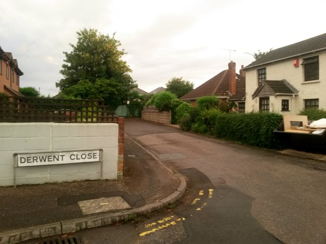
Image: © Chris Downer Taken: 22 Jun 2016
The opposing view to Image This segment of Rose Gardens forms a public footpath, numbered M02, linking up with footpath M01 at the dead end ahead (see Image]). The public right of way actually starts from the Rosebud Avenue turning, the next one behind us - see Image The cottage on the right is just in this gridsquare, while the actual dead end is in the next square east.
Images are licensed for reuse under creativecommons.org/licenses/by-sa/2.0
Image Location
Latitude
50.75417
Longitude
-1.873782