Moordown: Rose Gardens from its dead end
Introduction
The photograph on this page of Moordown: Rose Gardens from its dead end by Chris Downer as part of the Geograph project.
The Geograph project started in 2005 with the aim of publishing, organising and preserving representative images for every square kilometre of Great Britain, Ireland and the Isle of Man.

There are currently over 7.5m images from over 14,400 individuals and you can help contribute to the project by visiting https://www.geograph.org.uk
Moordown: Rose Gardens from its dead end
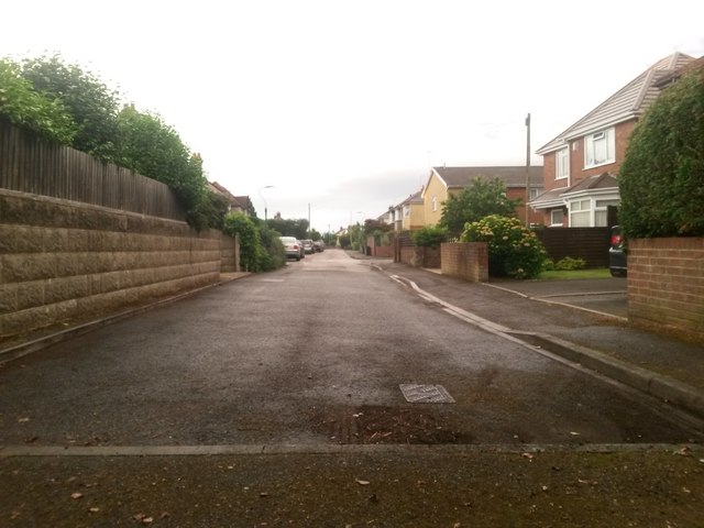
Image: © Chris Downer Taken: 22 Jun 2016
Looking along this residential street, this half of which also forms public footpath M02. To our immediate left and right runs another public path, number M01, between Wimborne and Mayfield Roads - see Image See Image for a view towards us from the junction ahead.
Images are licensed for reuse under creativecommons.org/licenses/by-sa/2.0
Image Location
Latitude
50.75408
Longitude
-1.873924