Moordown: footpath M01 meets Rose Gardens
Introduction
The photograph on this page of Moordown: footpath M01 meets Rose Gardens by Chris Downer as part of the Geograph project.
The Geograph project started in 2005 with the aim of publishing, organising and preserving representative images for every square kilometre of Great Britain, Ireland and the Isle of Man.

There are currently over 7.5m images from over 14,400 individuals and you can help contribute to the project by visiting https://www.geograph.org.uk
Moordown: footpath M01 meets Rose Gardens
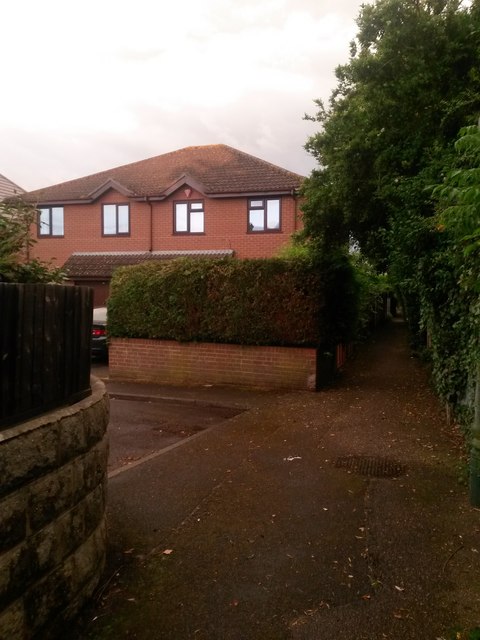
Image: © Chris Downer Taken: 22 Jun 2016
Looking along this straight public footpath between Wimborne and Mayfield Roads. About a third of the way along, it meets the dead end of Rose Gardens, also a public right of way. See Image for the next photo along the path ahead of us; Image for the next photo behind; and Image for a view along Rose Gardens from here.
Images are licensed for reuse under creativecommons.org/licenses/by-sa/2.0
Image Location
Latitude
50.75408
Longitude
-1.873924