Footpath by Claytonwood Farm
Introduction
The photograph on this page of Footpath by Claytonwood Farm by Jonathan Hutchins as part of the Geograph project.
The Geograph project started in 2005 with the aim of publishing, organising and preserving representative images for every square kilometre of Great Britain, Ireland and the Isle of Man.

There are currently over 7.5m images from over 14,400 individuals and you can help contribute to the project by visiting https://www.geograph.org.uk
Footpath by Claytonwood Farm
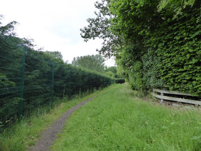
Image: © Jonathan Hutchins Taken: 18 Jun 2016
On the left the boundary fence of Stoke City FC Academy, on the right the fence of Claytonwood Farm.
Images are licensed for reuse under creativecommons.org/licenses/by-sa/2.0
Image Location
Latitude
52.981545
Longitude
-2.211603