Bethel Place 1886
Introduction
The photograph on this page of Bethel Place 1886 by Gerald England as part of the Geograph project.
The Geograph project started in 2005 with the aim of publishing, organising and preserving representative images for every square kilometre of Great Britain, Ireland and the Isle of Man.

There are currently over 7.5m images from over 14,400 individuals and you can help contribute to the project by visiting https://www.geograph.org.uk
Bethel Place 1886
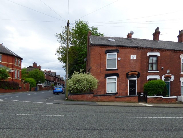
Image: © Gerald England Taken: 31 May 2016
The house on the corner of Chapel Street and Grenville Street has a stone plaque with the name "Bethel Place" and the date 1886.
Images are licensed for reuse under creativecommons.org/licenses/by-sa/2.0
Image Location
Latitude
53.477883
Longitude
-2.088557