Start of the 20 zone at the NE edge of Ringland, Newport
Introduction
The photograph on this page of Start of the 20 zone at the NE edge of Ringland, Newport by Jaggery as part of the Geograph project.
The Geograph project started in 2005 with the aim of publishing, organising and preserving representative images for every square kilometre of Great Britain, Ireland and the Isle of Man.

There are currently over 7.5m images from over 14,400 individuals and you can help contribute to the project by visiting https://www.geograph.org.uk
Start of the 20 zone at the NE edge of Ringland, Newport
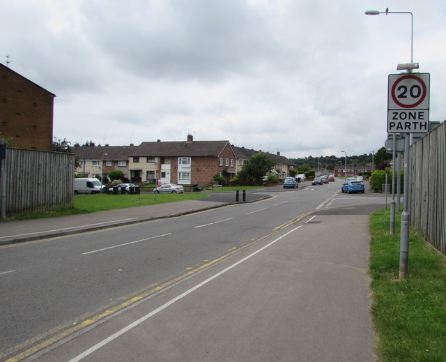
Image: © Jaggery Taken: 22 Jun 2016
The 50mph speed limit on the A48 behind the camera drops to 20mph along Beatty Road. The Mountbatten Close (left) and Howe Circle (right) junctions are ahead.
Images are licensed for reuse under creativecommons.org/licenses/by-sa/2.0
Image Location
Latitude
51.597618
Longitude
-2.927106