Norton Fitzwarren: Bronze Age enclosure, Iron Age hill fort
Introduction
The photograph on this page of Norton Fitzwarren: Bronze Age enclosure, Iron Age hill fort by Martin Bodman as part of the Geograph project.
The Geograph project started in 2005 with the aim of publishing, organising and preserving representative images for every square kilometre of Great Britain, Ireland and the Isle of Man.

There are currently over 7.5m images from over 14,400 individuals and you can help contribute to the project by visiting https://www.geograph.org.uk
Norton Fitzwarren: Bronze Age enclosure, Iron Age hill fort
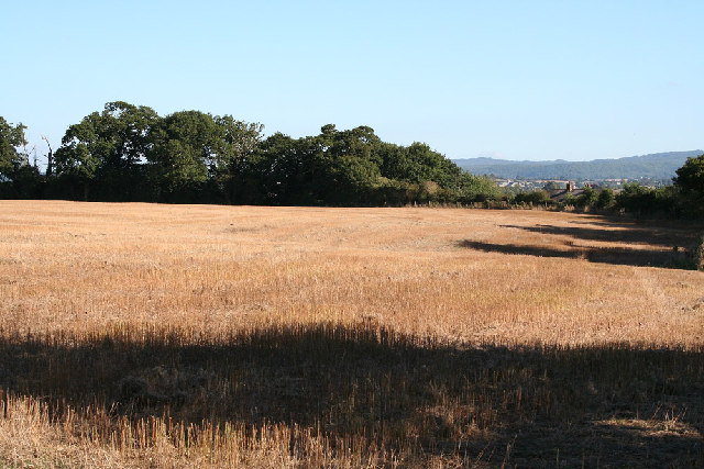
Image: © Martin Bodman Taken: 6 Sep 2005
Standing above the churchyard, the site was excavated in 1908 and again from 1968 to 1971. Evidence suggests Mesolithic and Neolithic activity here. An early Bronze Age enclosure dates from about 2000 BC; in the Iron Age this was superseded by a new rampart and ditch, creating an enclosed area of 5.2 hectares or 13 acres. The interior is now cultivated. Taunton Deane Borough Council has created a nature trail around the perimeter.
Images are licensed for reuse under creativecommons.org/licenses/by-sa/2.0
Image Location


Leaflet Map data © OpenStreetMap
Latitude
51.02952
Longitude
-3.147881