Houses on the B5300, West Silloth
Introduction
The photograph on this page of Houses on the B5300, West Silloth by JThomas as part of the Geograph project.
The Geograph project started in 2005 with the aim of publishing, organising and preserving representative images for every square kilometre of Great Britain, Ireland and the Isle of Man.

There are currently over 7.5m images from over 14,400 individuals and you can help contribute to the project by visiting https://www.geograph.org.uk
Houses on the B5300, West Silloth
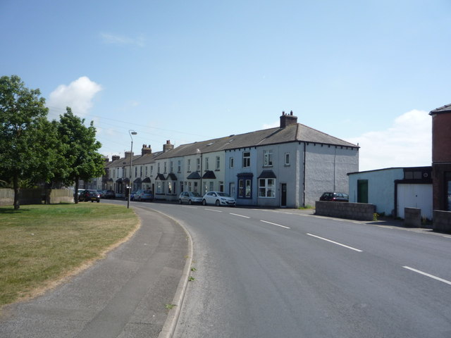
Image: © JThomas Taken: 18 Jun 2016
Images are licensed for reuse under creativecommons.org/licenses/by-sa/2.0
Image Location
Latitude
54.862908
Longitude
-3.39061