Lower Calbourne Mill
Introduction
The photograph on this page of Lower Calbourne Mill by Jim Woodward-Nutt as part of the Geograph project.
The Geograph project started in 2005 with the aim of publishing, organising and preserving representative images for every square kilometre of Great Britain, Ireland and the Isle of Man.

There are currently over 7.5m images from over 14,400 individuals and you can help contribute to the project by visiting https://www.geograph.org.uk
Lower Calbourne Mill
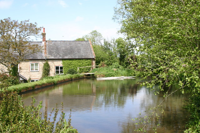
Image: © Jim Woodward-Nutt Taken: 21 May 2005
This mill was still in commercial use until a few years ago, making biscuits.
Images are licensed for reuse under creativecommons.org/licenses/by-sa/2.0
Image Location
Latitude
50.688385
Longitude
-1.415296