Overgrown track east of Tallentire Hill
Introduction
The photograph on this page of Overgrown track east of Tallentire Hill by Graham Robson as part of the Geograph project.
The Geograph project started in 2005 with the aim of publishing, organising and preserving representative images for every square kilometre of Great Britain, Ireland and the Isle of Man.

There are currently over 7.5m images from over 14,400 individuals and you can help contribute to the project by visiting https://www.geograph.org.uk
Overgrown track east of Tallentire Hill
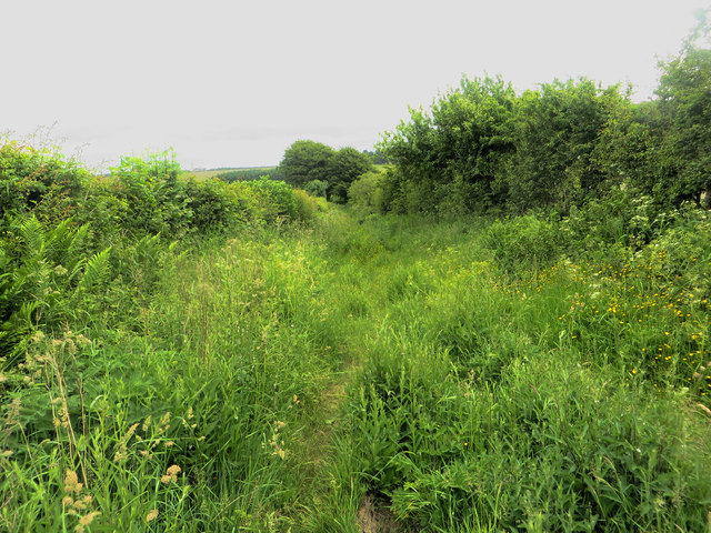
Image: © Graham Robson Taken: 17 Jun 2016
A farm track and public bridleway which hasn't seen much vehicular use in recent years judging from the level of undergrowth.
Images are licensed for reuse under creativecommons.org/licenses/by-sa/2.0
Image Location
Latitude
54.711461
Longitude
-3.359809