Arable field north east of Bridekirk
Introduction
The photograph on this page of Arable field north east of Bridekirk by Graham Robson as part of the Geograph project.
The Geograph project started in 2005 with the aim of publishing, organising and preserving representative images for every square kilometre of Great Britain, Ireland and the Isle of Man.

There are currently over 7.5m images from over 14,400 individuals and you can help contribute to the project by visiting https://www.geograph.org.uk
Arable field north east of Bridekirk
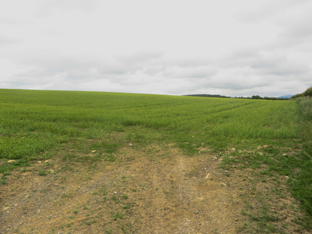
Image: © Graham Robson Taken: 17 Jun 2016
An arable field in which a spring cereal crop (most likely barley) is growing. This field is unusual as most of the fields in the local area are grass and used for grazing animals.
Images are licensed for reuse under creativecommons.org/licenses/by-sa/2.0
Image Location
Latitude
54.696123
Longitude
-3.365037