Bournemouth: footpath D11 at the back of Beacon and Kingsway Houses
Introduction
The photograph on this page of Bournemouth: footpath D11 at the back of Beacon and Kingsway Houses by Chris Downer as part of the Geograph project.
The Geograph project started in 2005 with the aim of publishing, organising and preserving representative images for every square kilometre of Great Britain, Ireland and the Isle of Man.

There are currently over 7.5m images from over 14,400 individuals and you can help contribute to the project by visiting https://www.geograph.org.uk
Bournemouth: footpath D11 at the back of Beacon and Kingsway Houses
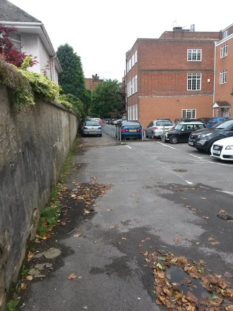
Image: © Chris Downer Taken: 21 Jun 2016
This public footpath links up with path D10, which goes through to Weston Drive (see Image - the arch is immediately on our left). Ahead of us, the public right of way follows the back of Kingsway House (adjacent to the low chain fencing) before turning right onto Christchurch Road (see Image]). See Image for a view of the two buildings around which the path runs.
Images are licensed for reuse under creativecommons.org/licenses/by-sa/2.0
Image Location
Latitude
50.721694
Longitude
-1.862819