The William Leefe Robinson Memorial
Introduction
The photograph on this page of The William Leefe Robinson Memorial by Des Blenkinsopp as part of the Geograph project.
The Geograph project started in 2005 with the aim of publishing, organising and preserving representative images for every square kilometre of Great Britain, Ireland and the Isle of Man.

There are currently over 7.5m images from over 14,400 individuals and you can help contribute to the project by visiting https://www.geograph.org.uk
The William Leefe Robinson Memorial
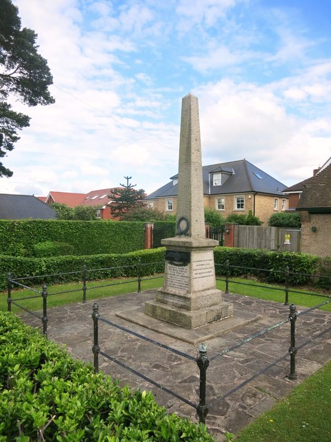
Image: © Des Blenkinsopp Taken: 16 Jun 2016
Marking the first destruction of an enemy airship over Britain. Being on the flight path between Germany and London, Hertfordshire suffered a number of other airship incidents. See http://www.hertsatwar.co.uk/zeppelin-raids-hertfordshire for more details.
Images are licensed for reuse under creativecommons.org/licenses/by-sa/2.0
Image Location
Latitude
51.710666
Longitude
-0.118966